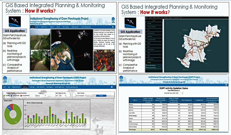
Introduction of GIS based technology to Gram Panchayat monitoring is a rich value addition to the state oversight being managed by a comprehensive web based application. Our website http://isgp.in is specifically designed for the purpose of providing ‘Planning and Monitoring through GIS‘.
The Geographic Information System (GIS) based monitoring system chiefly provides “real time” monitoring of GP infrastructure activities as well as capturing participation of citizens in GP level meetings with latest and real time status. Tracking the progress of activities on real time basis improves overall project management and enables transparent, accountable, timely and efficient service delivery across the nine districts under ISGP Project. The ‘real time’ data is available to the public from the website: http://isgp.in
“In a nutshell, GIS based Integrated Planning & Monitoring System is our ultimate tool for showcasing that the GPs in West Bengal are transparent and accountable in public service delivery.”
